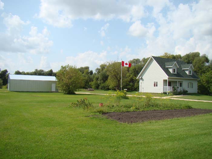
The Harris Homestead
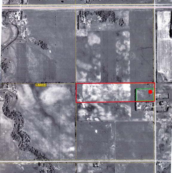
40 acres purchased May 20, 2005.
Moved-in July 20, 2006.
Consists of 6 acres of tree-fenced, overgrown grass (now maintained) and 34 acres of farmland
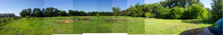
Picture below taken August 8, 2010
at 3:15pm
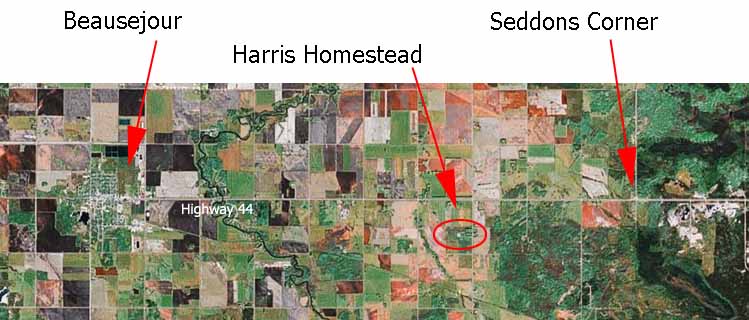
Located 6 miles (10 km) east of Beausejour, Manitoba (3 miles west of Seddons Corner) just off of Highway 44 (half mile south).
| We are on Road 48E (actually, the road sign on Highway 44
reads both "Road 48E" and "Singbeil Road"). Turn south from Highway 44 and go a
half-mile. Our "street" address is 71072 (green sign at end of driveway). |
A GPS reading taken July 18, 2006 gave the following (from the south east corner of the house - the post at the corner of the front verandah):
N 50º 03' 11.3"
W 96º 21' 40.0"
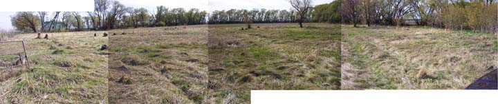
Click for pictures taken May 20, 2005
Family pictures taken July 20, 2005
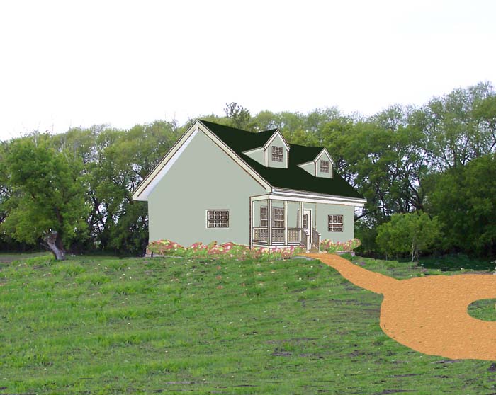
Proposed house on site (site image taken early May, 2006; house image based on scale model)
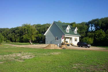
[View on Aug 2/06]
Dec 2006: skating rink
Dec 2006: bird feeding
Dec 31 snow
Nov 2007: skating rink
|
Mailing address: PO Box 104 |
